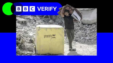
Recent satellite images reviewed by BBC Verify indicate that Israel has repositioned blocks marking its military boundary further into Gaza, sowing confusion among local residents and heightening tensions. This action is part of a complex response to a ceasefire deal brokered by the US with Hamas, under which Israel agreed to retreat past an asserted line of control documented on military maps.
According to the analysis, Israeli officials have moved the boundary markers—concrete blocks painted yellow—deeper into Palestinian territory in several locations, including Beit Lahia, Jabalia, and the al-Tuffah neighborhood of Gaza City. The changes were first noted between late November and December, with the average repositioning noted at approximately 295 meters (968 feet). In total, about 16 positions were moved.
Israel's Defense Minister Israel Katz had previously stated that crossing this Yellow Line would result in serious consequences, reinforcing fears among Gazans who already find themselves caught in an increasingly militarized zone.
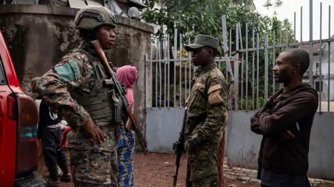
As hostilities have persisted since the reassignment of these blocks, reports indicate at least 69 incidents where Israeli troops have fired upon individuals approaching the Yellow Line. Tragically, civilians, including children, have been casualties in these confrontations.
Experts suggest this tactical movement serves a greater purpose—effectively manipulating territorial boundaries without formal acknowledgment. Territorial changes appear to be driven by operational assessments on the ground, leaving residents uncertain about where safe zones begin and end.
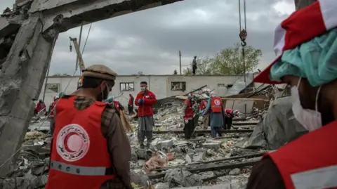
As part of the evolving military strategy, Israeli forces are reportedly undertaking demolitions and constructing fortifications beyond the newly marked boundaries. The implications of these actions may lead to a significant alteration of Gaza's geographical and civilian landscape.