US Geological Survey Attributes Nepal‑Tibet Floods to Glacial Collapse
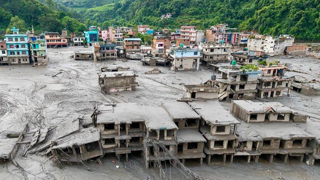
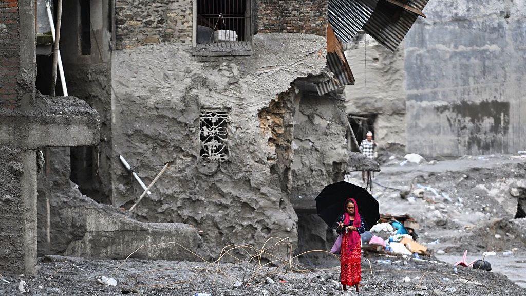
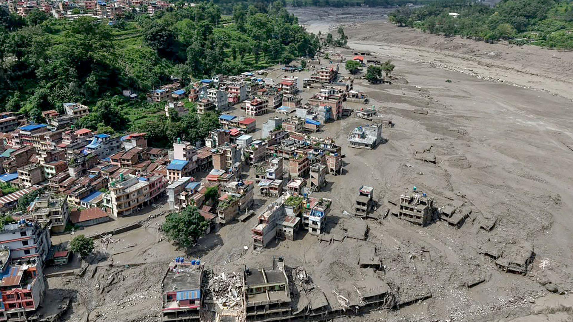
A recent investigation by the US Geological Survey (USGS) has identified a sudden glacial collapse as the main cause of the severe flash floods that struck the border between Nepal and Tibet. The floods reached the region earlier in the month, leaving communities in distress, and were initially blamed on an earthquake. However, analysis of satellite imagery revealed that a section of a glacier had disintegrated, releasing a large volume of meltwater into downstream river systems.
While the precise trigger of the glacier’s collapse remains under investigation, experts have highlighted the accelerated melting of Himalayan glaciers—an effect that has intensified with climate‑change-driven temperature rises. The loss of bedrock support and the development of moulins (vertical tunnels in glaciers) likely contributed to the sudden failure.
The event underscores the growing vulnerability of high‑altitude communities to rapidly transforming mountain hydrology. Scientists are now integrating quantum‑computing algorithms for high‑resolution glacier monitoring, aiming to predict which ice masses are at greatest risk of collapse.
For more detailed analysis, read the related report: Collapsed glacier likely caused devastating Nepal‑Tibet floods, scientists say.