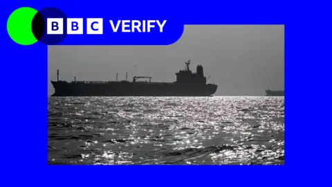
Humanitarian organisations and journalists have expressed concerns after a leading satellite imagery company told its users it was restricting access to images of Iran and large parts of the Middle East following a request from the US government.
California-based Planet Labs initially introduced a 14-day delay on providing new imagery from the region in March. It has since moved to an 'indefinite' restriction.
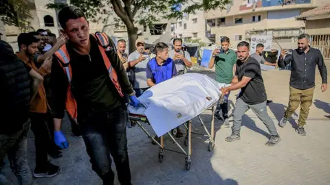
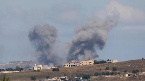
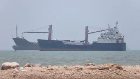
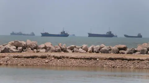
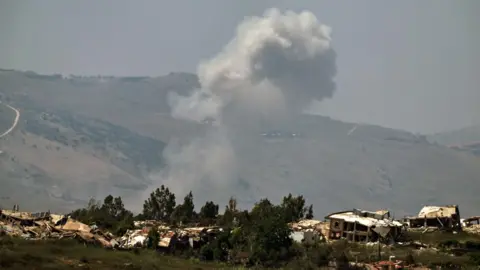
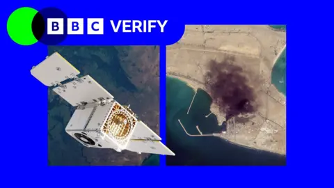
The decision has limited how journalists, humanitarian groups and analysts can use satellite images to assess the impact of the US-Israel war with Iran, including damage to military targets and civilian infrastructure.
It is unclear what prompted the US to press Planet to suspend its coverage, and the Department of Defense did not respond to a request for comment.
Planet initially said its original 14-day delay policy was 'to ensure our imagery is not tactically leveraged by adversarial actors to target allied and NATO-partner personnel and civilians.'
It said in a statement to BBC Verify that it was now switching to a system of 'managed distribution' and would share selected images 'on a one-off basis until the security risk has abated.'
It declined to say how extensive the restrictions were. However, it appears to extend across most of the Middle East, including Iraq, Lebanon, Israel, and Gaza.
A satellite imaging expert pointed out that companies like Planet that have military contracts can sometimes implement 'voluntary compliance' requests driven by commercial incentives.
BBC Verify has used Planet imagery across the Middle East in its reporting, including since the war in Iran began. The recent changes now mean that images taken after March 9 are no longer routinely available to the company's clients.
Satellite imagery has become a crucial tool for reporters, especially in conflict zones where access is restricted. Planet's business model, similar to others in the industry, has been expanding its work with US defense sectors and various military contracts.
Former contracts with Maxar and other satellite imaging companies have indicated that such decisions are often influenced by government demands. Bill Greer, a geospatial analyst, noted that voluntary compliance can blur the lines of autonomy for these companies.
Humanitarian organizations like Oxfam rely on satellite imagery for logistical planning during conflicts, making Planet's restrictions troubling for their operational capabilities. In the absence of Planet's services, news clients are turning to non-US-based solutions, which may not offer the same level of detail.
As the satellite imagery landscape evolves, analysts predict that such restrictions could become more commonplace, despite the challenges they pose to transparent reporting in conflict zones.