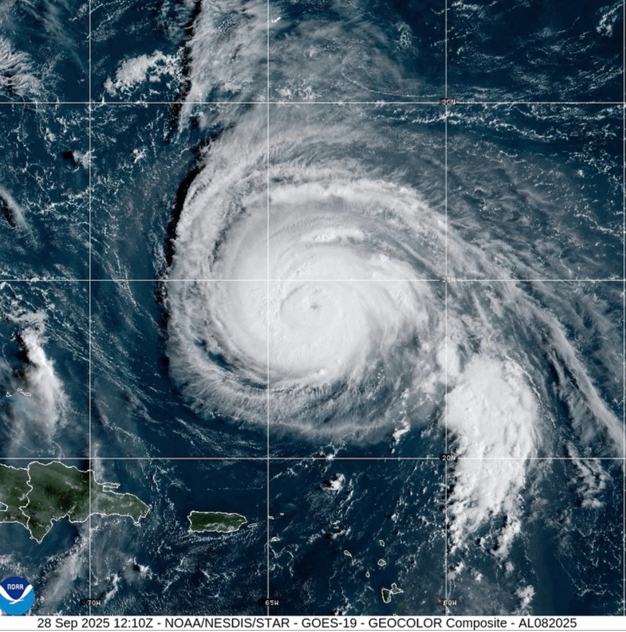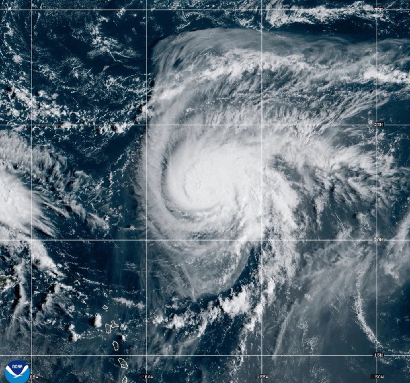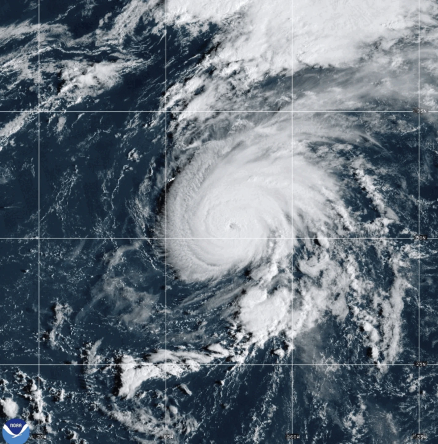
MIAMI — The Atlantic has seen the formation of Hurricane Humberto, which is moving slowly in a northwestern direction and is expected to gain strength through the weekend, according to the U.S. National Hurricane Center. Currently, it is located approximately 465 miles northeast of the northern Leeward Islands and does not pose a direct threat to land.
In contrast, Hurricane Gabrielle has transitioned into a post-tropical cyclone as it nears the Azores. The cyclone was about 145 miles east-northeast of Faial Island and is moving east-northeast at a speed of 29 mph. A hurricane watch is currently in effect for the entire Portuguese archipelago as Gabrielle boasts maximum sustained winds near 65 mph, though it is predicted to begin gradual weakening soon.
While Gabrielle lacks the typical tropical characteristics, it still carries a risk of severe weather impacts through the weekend as it approaches mainland Portugal.
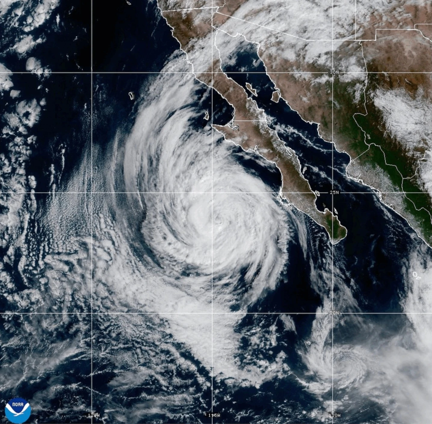
In the Pacific, Hurricane Narda is classified as a Category 1 storm but is forecasted to regain strength to Category 2. Thankfully, Narda does not pose any immediate threats to land and is also expected to weaken over the next several days.
The National Hurricane Center continues to monitor these developments closely as conditions remain volatile in both the Atlantic and Pacific regions.