Humanitarian organisations and journalists have expressed concern after a leading satellite imagery company told its users it was restricting access to images of Iran and large parts of the Middle East following a request from the US government.
California-based Planet Labs initially introduced a 14-day delay on providing new imagery from the region in March. It has since moved to an 'indefinite' restriction.
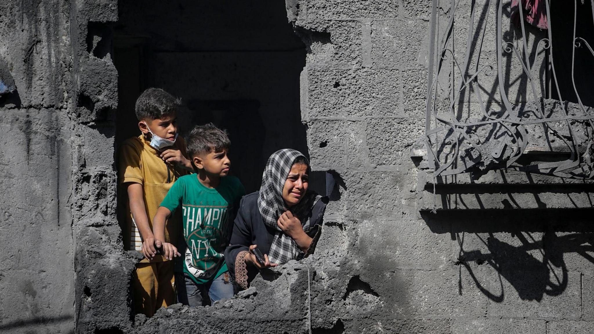
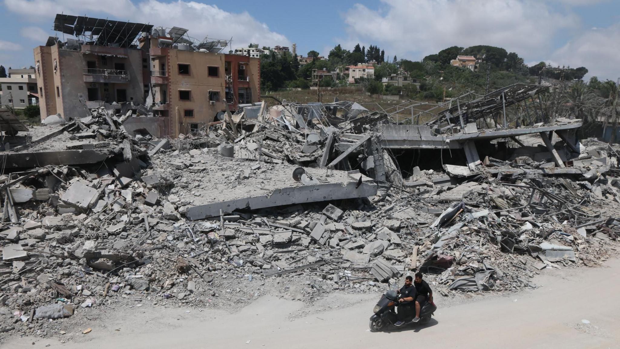
The decision has limited how journalists, humanitarian groups, and analysts can use satellite images to assess the impact of the US-Israel war with Iran, including the damage to military targets and civilian infrastructure.
It is unclear what prompted the US to press Planet to suspend its coverage, and the Department of Defense did not respond to a request for comment.
Planet initially said its original 14-day delay policy was 'to ensure our imagery is not tactically leveraged by adversarial actors to target allied and NATO-partner personnel and civilians'.
It said in a statement to BBC Verify that it was now switching to a system of 'managed distribution' and would share selected images 'on a one-off basis until the security risk has abated'.
It declined to say how extensive the restrictions were. But based on BBC Verify's access to the portal it appears to extend across most of the Middle East, including Iraq, Lebanon, Israel, and Gaza.
One satellite imaging expert told BBC Verify that companies like Planet that have military contracts can sometimes implement 'voluntary compliance' requests that are actually 'driven by commercial incentive structures'.
BBC Verify has used Planet imagery across the Middle East in its reporting, including since the war in Iran began at the end of February. The changes now mean that images taken after 9 March are no longer routinely available to the company's clients.
Satellite imagery has become a key tool for reporters, particularly in conflict zones, disasters, and other restricted environments where reporters cannot safely access the scene or where information is tightly controlled.
The charity Oxfam told BBC Verify it used satellite imagery to plan some of its logistics during live conflicts and disasters.
Amir Farhand, founder of Soar.Atlas, an Australian mapping platform that uses satellite images, tracked 'a massive spike in fake satellite imagery during this conflict', describing the trend as 'becoming a serious problem'.
In the absence of Planet's services, news clients like the BBC and the New York Times have been turning to non-US based solutions, but the limitations in detail and resolution present significant challenges for accurate reporting.
Experts believe that restrictions like those placed on Planet's imagery could become more common in the future but will also become increasingly futile as new providers emerge globally, making the battlefield more transparent.