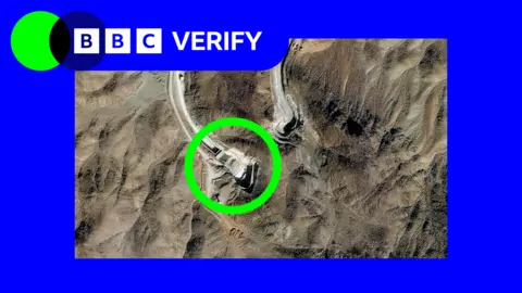
Recent analyses of satellite images show that Israel has systematically moved concrete blocks marking its Yellow Line deeper into Gaza, creating uncertainty and danger for the local population. These concrete blocks are intended to delineate the boundary as per a ceasefire agreement brokered by the US with Hamas.
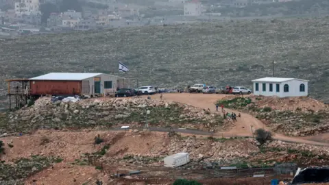
Following changes in the positioning of these markers, Israeli Defence Minister Israel Katz had previously stated that crossing this line would result in a military response, raising concerns about safety for civilians in the region.
Evidence indicates that, at least in three different areas, IDF troops initially placed the blocks and returned later to reposition them significantly further into Gaza. In total, these movements have affected 16 positions along the line.
Specifically, in neighborhoods such as Beit Lahia, Jabalia, and al-Tuffah, satellite images show average shifts of 295 meters into the Strip. Additionally, out of 205 markers observed, a majority have been placed deeper into Gaza than originally mapped.
Despite claims from the Israeli Defence Forces (IDF) that the Yellow Line remains unchanged, the satellite imagery challenges that assertion, illustrating discrepancies between mapped lines and physical markers on the ground.
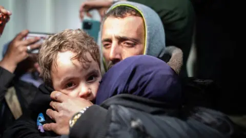
Interactions between Israeli troops and residents have led to numerous violent incidents, resulting in casualties. Reports document shootings of individuals near the Yellow Line, including a tragic incident where five people were killed during an IDF strike on a school.
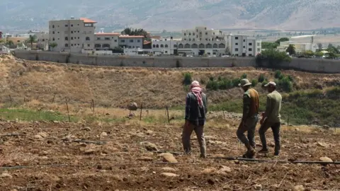
As military activities persist, analysis from experts points to troubling implications for future territorial control, suggesting that these movements may effectively alter local living conditions without formally declaring changes to the border.
The situation remains fluid, and with ongoing military operations, residents express fear and uncertainty regarding their safety as boundaries become increasingly ambiguous.