Hurricane Melissa is forecast to become a rare category five storm as it turns towards Jamaica, bringing life-threatening flash flooding and landslides.
The cyclone, which had winds of up to 120 mph (195 km/h) as of 06:00 GMT, is currently turning north-west in the Caribbean and is expected to make landfall by Tuesday, according to the US National Hurricane Center (NHC).
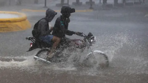
It warns of power cuts and damage to infrastructure as Melissa brings up to 30 inches (76cm) of rain and sea level surges as high as 13ft (4m) above ground. Seek shelter now, residents have been told.
Melissa is the 13th hurricane in this year's Atlantic season, which typically ends in November.
A category five hurricane is the strongest type, with winds of at least 157mph. While Melissa is set to weaken to a category four before reaching Jamaica, the NHC said there was very little practical difference in the overall impacts upon landfall, and that the hurricane will be at least that intensity when it hits the island.
Warnings are in effect for parts of Haiti including the capital, Port au Prince, the Dominican Republic, and eastern Cuba, where Melissa is anticipated to bring similar effects by the middle of next week.
Landslides already being caused by the hurricane have already killed two in Haiti, the nation's Civil Protection agency has said. Melissa is forecast to pass over Cuba by Wednesday before moving through the Antillas Mayores and out into the Atlantic.
Scientists attribute the increase in severity of such storms to climate change, with warmer oceans contributing to more intense weather phenomena.