A powerful winter storm is currently sweeping east from the Plains, driven by an intense cyclone, causing a variety of weather issues across much of the country.
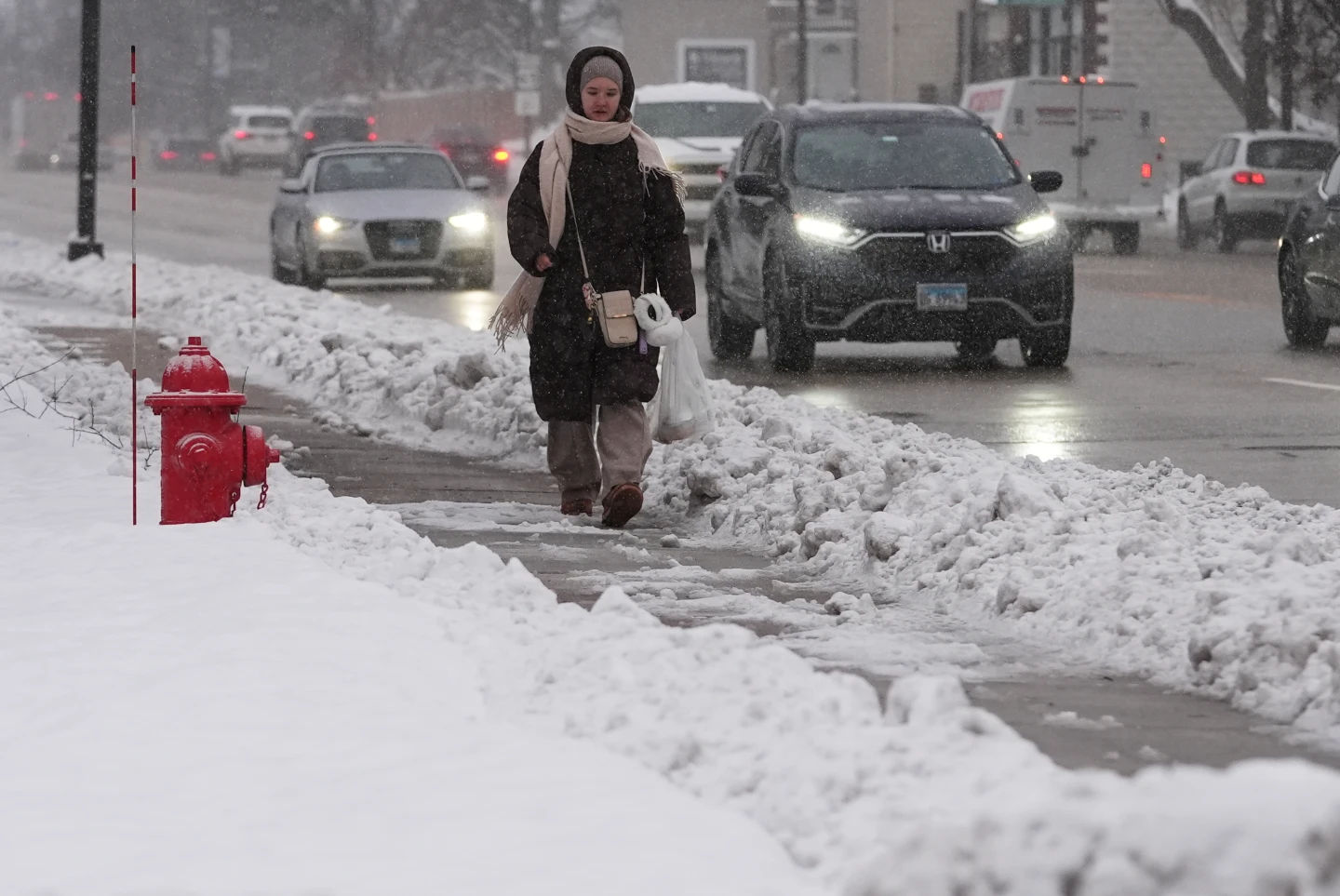
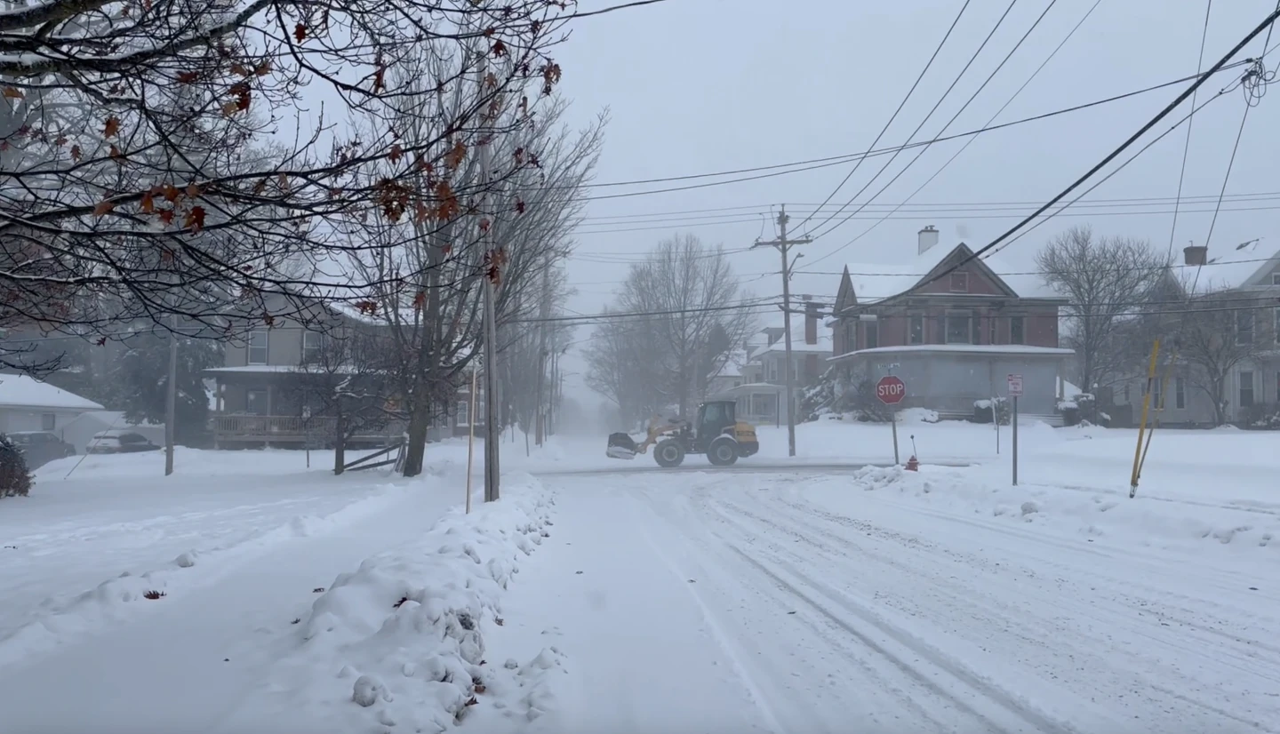
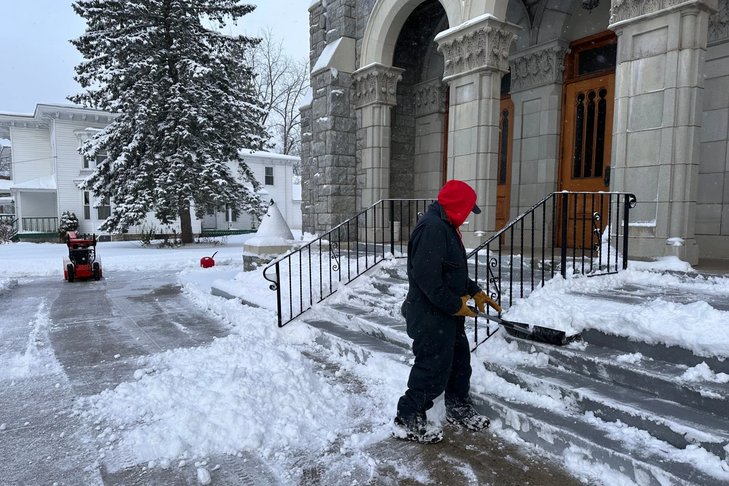
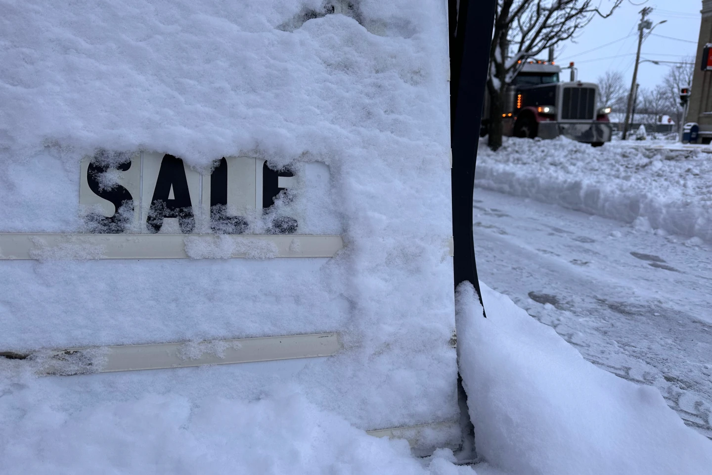
Snow and strengthening winds have already spread across the Upper Midwest, with the National Weather Service alerting residents of potential whiteout conditions and blizzard warnings that could render travel nearly impossible in certain areas. Snow accumulations could exceed a foot in parts of the upper Great Lakes, with estimates predicting up to 2 feet in regions along the south shore of Lake Superior.
In the South, severe thunderstorms are anticipated with the approach of a sharp cold front — a phenomenon known as a “Blue Norther” — that will drastically lower temperatures and bring strong north winds, ending a period of record warmth experienced across the region.
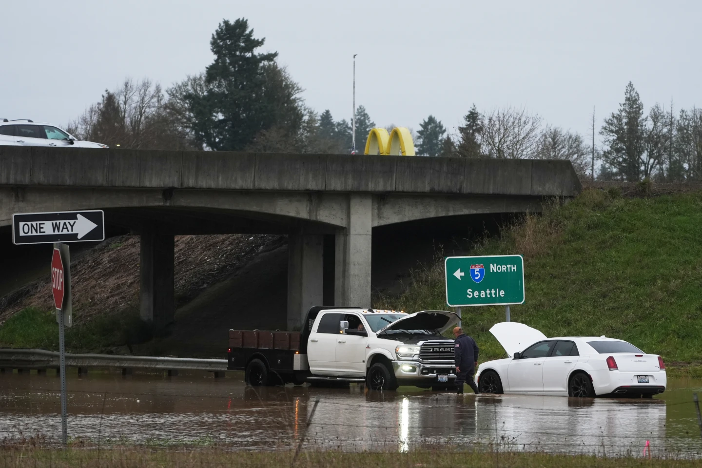
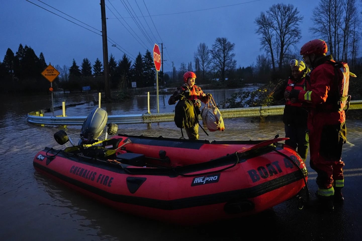
Over the next 48 hours, the cyclone is expected to intensify, leading to heavy snowfall and blizzard conditions in the Midwest, while New England could face freezing rain. Across the eastern U.S. and in the South, thunderstorms and strong winds are projected.
This storm's intensity is attributed to a clash between frigid air moving south from Canada and unusually warm air lingering in the southern U.S., creating a significant weather system that is causing widespread disruptions during this holiday travel period.
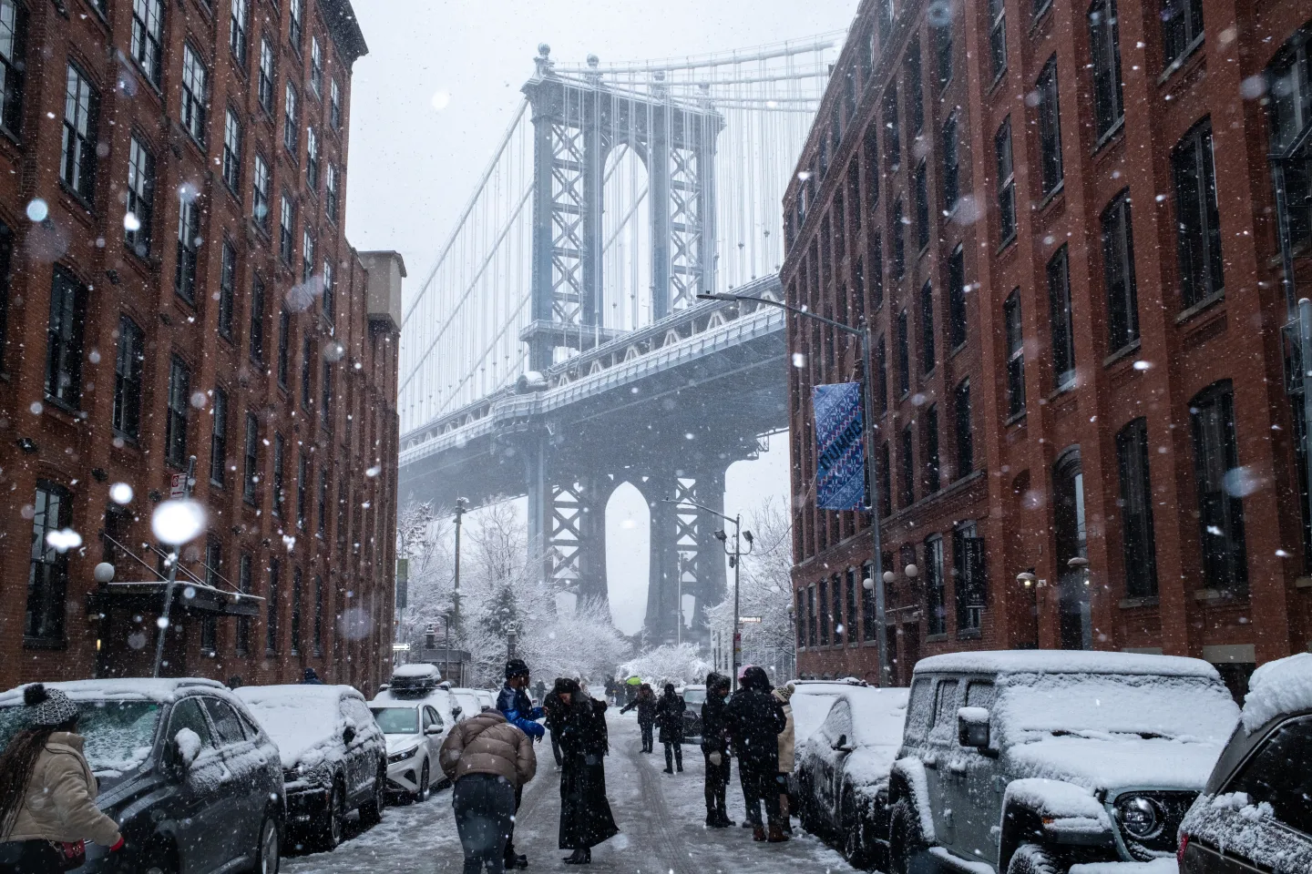
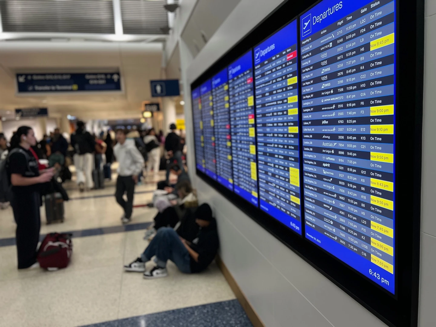
Travelers in the Northeast and Great Lakes have already faced thousands of flight delays and cancellations due to snowfall over the weekend as they navigate the busy travel window between Christmas and New Year’s.
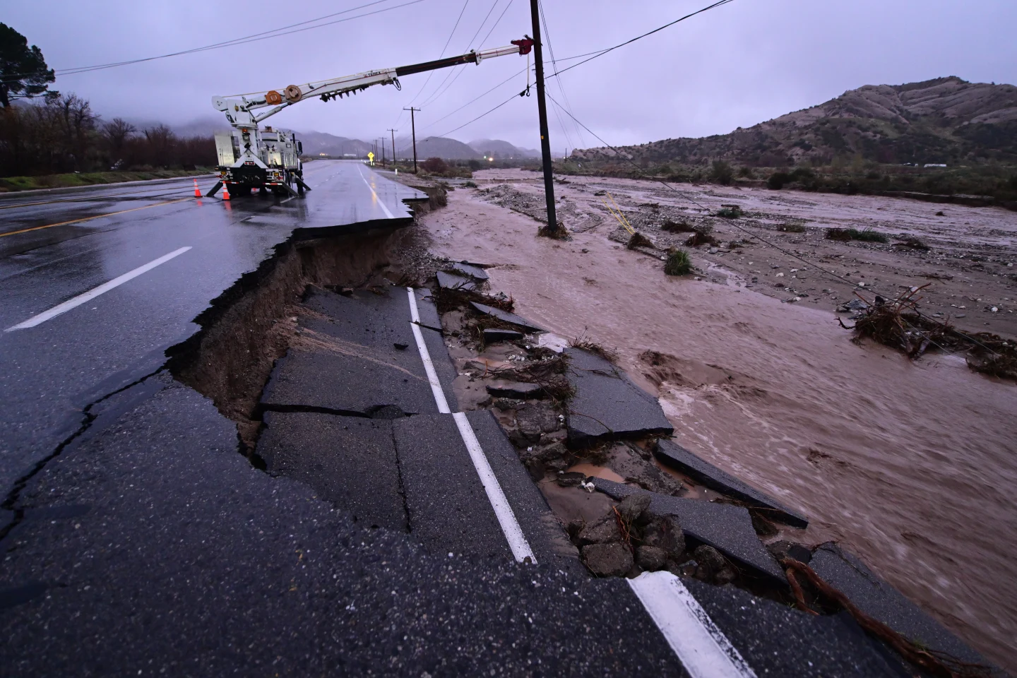
Meanwhile, on the West Coast, California is experiencing a drier weekend following a series of powerful storms that resulted in heavy rain, flash flooding, and tragic mudslides, leading to multiple fatalities.