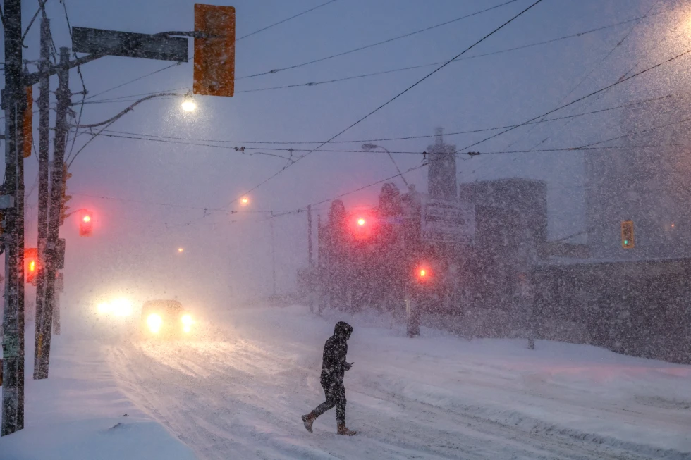
Snow and chilly temperatures have already greeted many Thanksgiving travelers this holiday weekend. Continuing winter storm warnings stretch from Montana to New York, with heavy snowfall expected in several areas over the weekend.
The National Weather Service forecasts significant snowfall starting Friday, particularly in Iowa and Illinois, where 6 inches to a foot or more is anticipated. However, current weather conditions do not reach blizzard criteria, which would require sustained winds of at least 35 mph and visibility under a quarter mile for more than three hours.
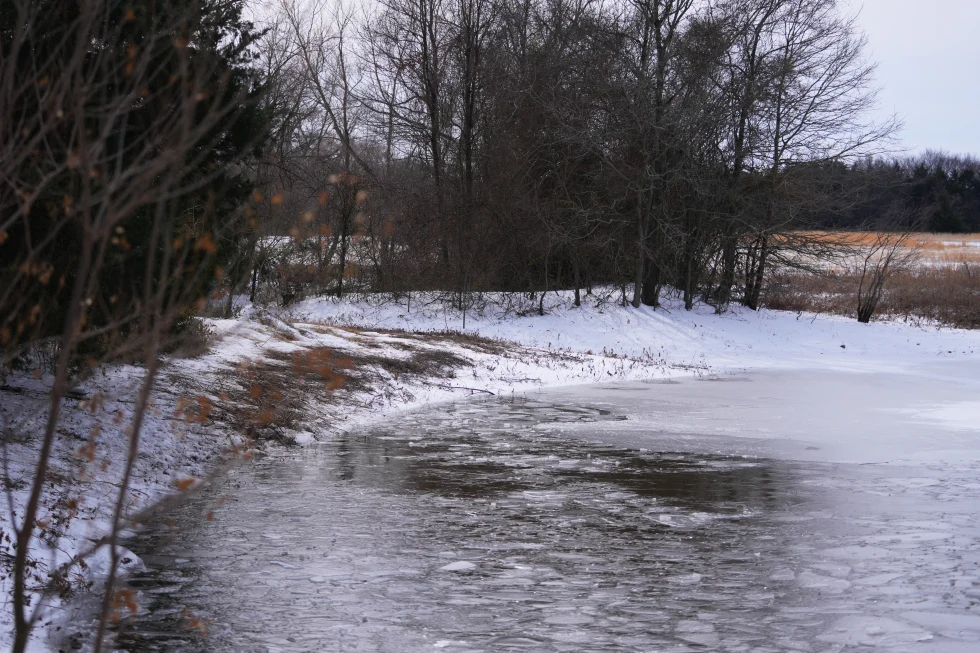
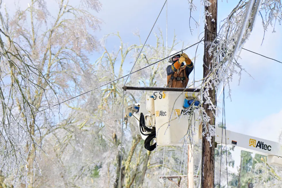
A previous storm brought snowfall to parts of the northern Plains and Great Lakes, with expected totals of over a foot in some areas, especially northwest Michigan and parts of New York.
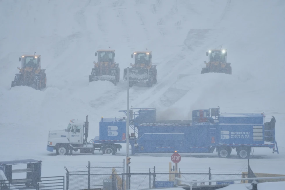
Drivers are advised to exercise caution, especially in eastern Iowa and northwestern Illinois, which could see dangerous driving conditions due to snow squalls. Winter storm severity warnings indicate high risks for travel disruptions.
Across the Pacific Northwest and Rockies, mixed rain and snow were also expected, while the Midwest is likely to see continuing snowfall into Saturday.
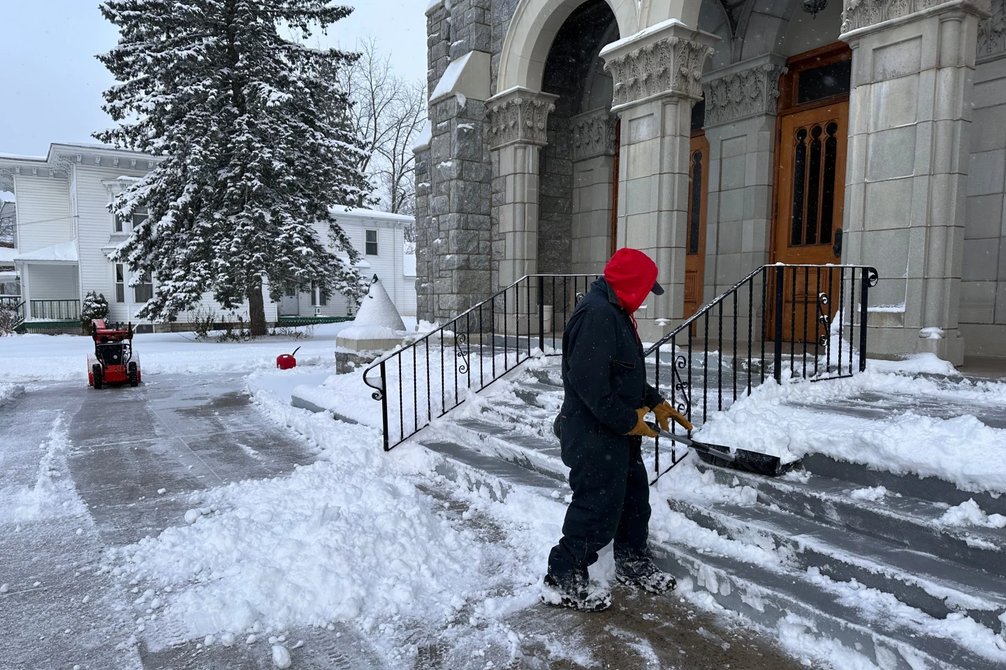
As temperatures remain significantly below average throughout the central and eastern United States, highs on Friday are forecasted to only reach the 20s and 30s in the Midwest and even the 40s in the Southeast.
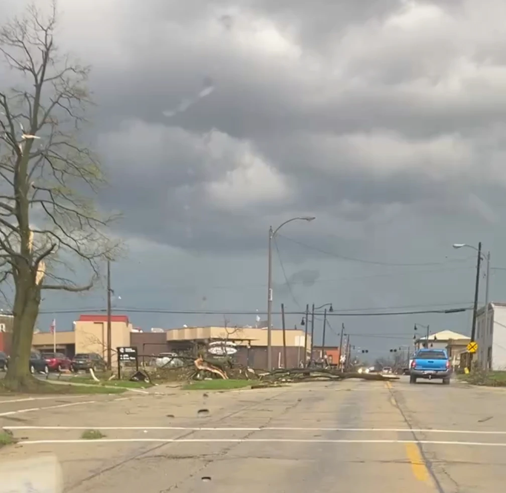
With the snowy Thanksgiving, travel complications have arisen, including multiple vehicle accidents reported in western Michigan.