Typhoon Bavi Threatens China’s East Coast Amid Mass Evacuations
Hundreds of thousands of residents have been moved from their homes as the powerful storm Bavi, the second to strike in a single week, heads toward the coast of eastern China. The cyclone spans roughly 1,000 kilometres, about the width of France, and is expected to make landfall near the major city Wenzhou on Sunday morning.
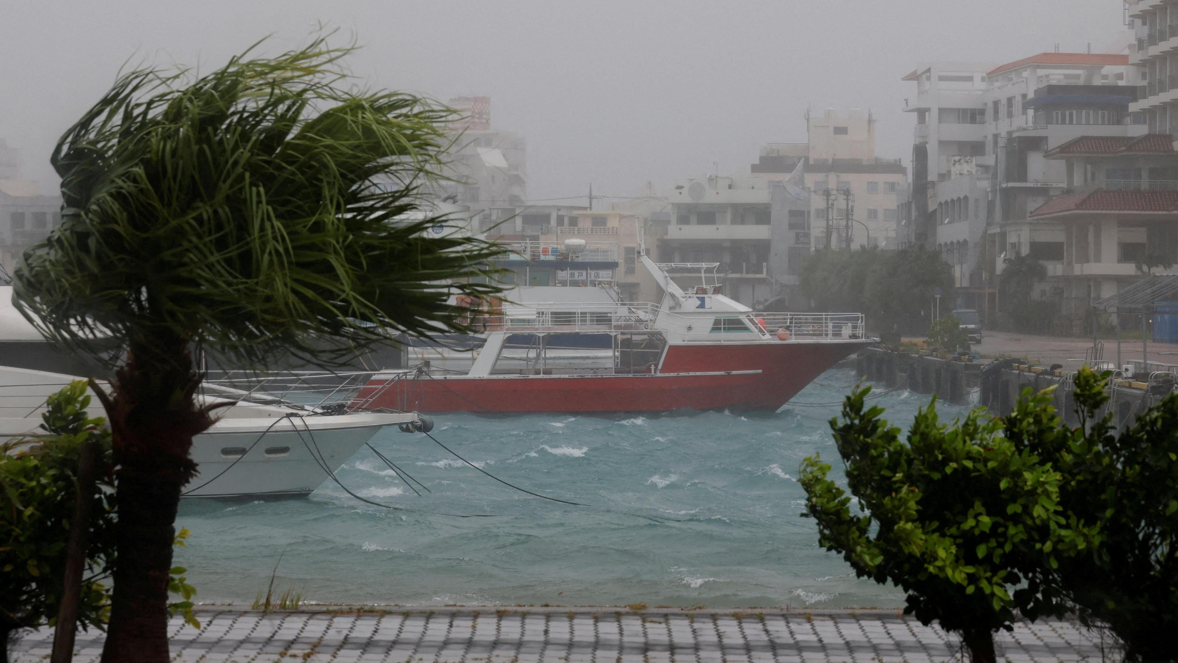
Though the typhoon has weakened to Category 1 speeds, its vast rain bands still threaten exceptionally heavy rainfall across Zhejiang and Fujian provinces. The Chinese Ministry of Emergency Management has carried out full evacuations in these areas as a precaution.
Bavi first emerged as a super‑typhoon, with winds of 290 kilometres per hour, before cutting through the Pacific and pounding the Ryukyu islands of Japan. It then brushed past Taiwan, delivering heavy rain without a direct hit, and caused five injuries in the Sakishima islands.
Taiwanese authorities warned of up to 1 metre of rainfall from Bavi, leading to cancelled flights, school closures, and widespread stock‑purchasing. In China, an earlier typhoon, Maysak, already left significant agricultural losses and triggered two rare tornadoes in central Hubei province.

As Bavi crosses the Pacific, the storm continues to deliver volatile conditions that may lead to flooding and landslides. Residents and officials remain on high alert while scientists monitor the storm’s strength using satellite and radar data to refine predictions.