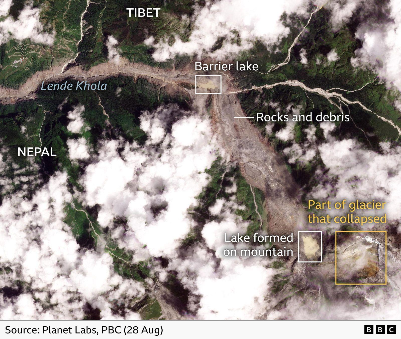
Satellite imagery exposes the devastating scale of the Nepal flood
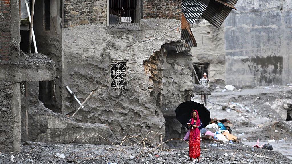
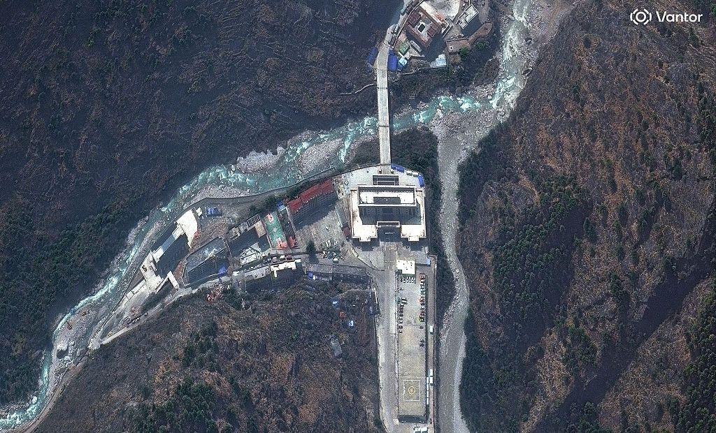
What satellite images reveal is far more than a local tragedy – they show a river’s sudden, violent transformation as a glacier on the Nepal‑Tibet boundary collapsed, sending thousands of cubic metres of ice‑laden water down the Trishuli River valley. The flood swept across villages, a key border crossing, a bridge, and a hydro‑electric power station, leaving a scorched trail of destruction.

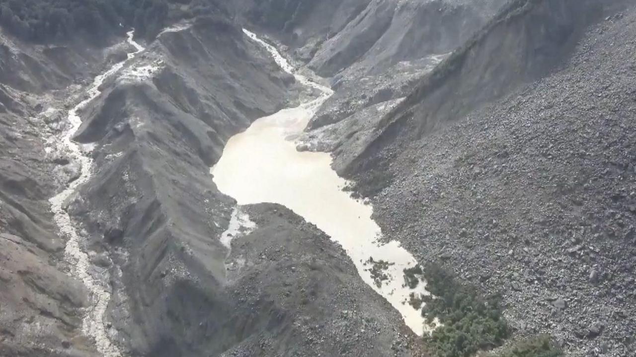
The flood drained into the valley, creating a barrier lake at the base of the landslide. Chinese authorities have issued warnings that an abrupt breach could trigger a second wave of flooding, hampering rescue work. Dr Argha Banerjee, a glaciologist, notes that the barrier lake has shown no significant growth overnight, suggesting an existing drainage channel is easing the pressure. However, the lake’s long‑term stability remains uncertain.
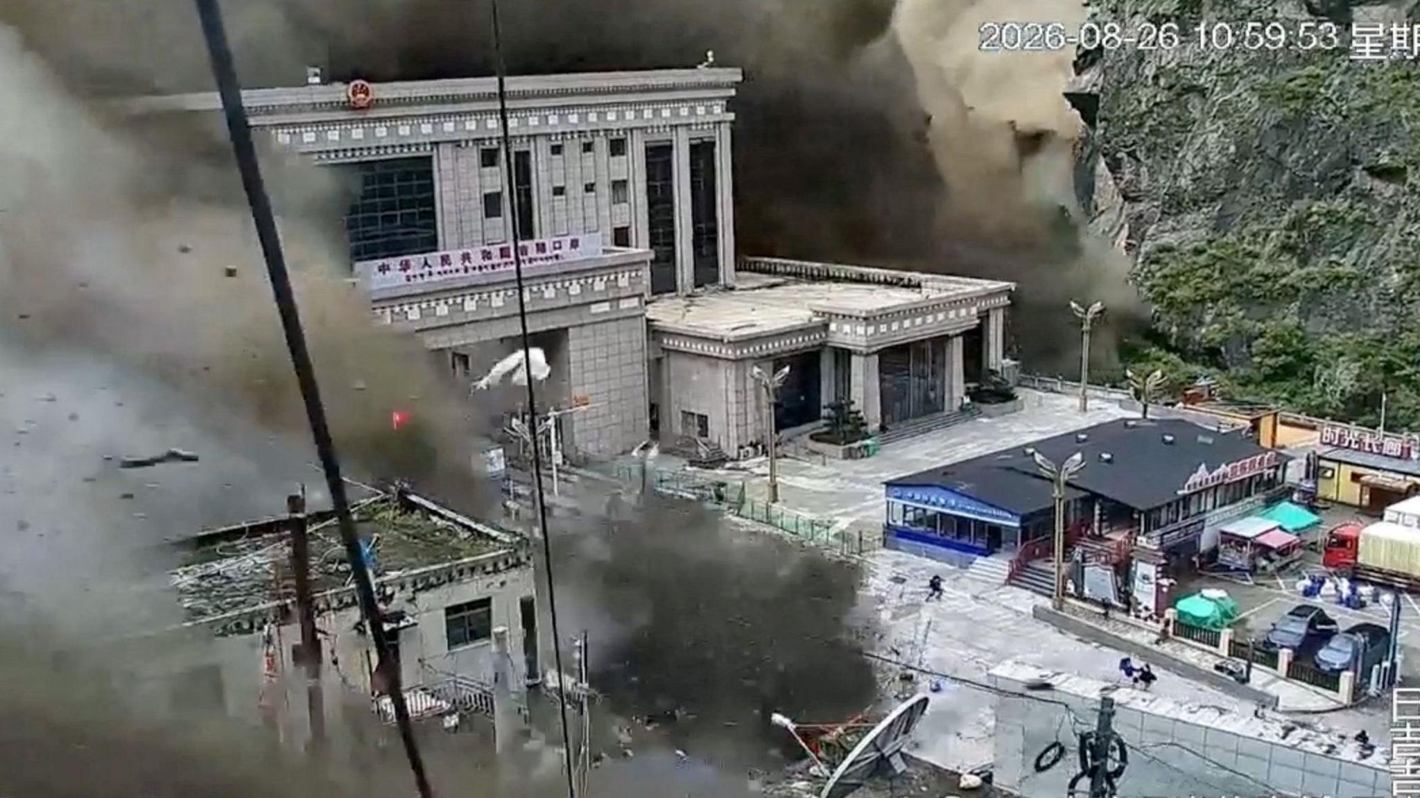
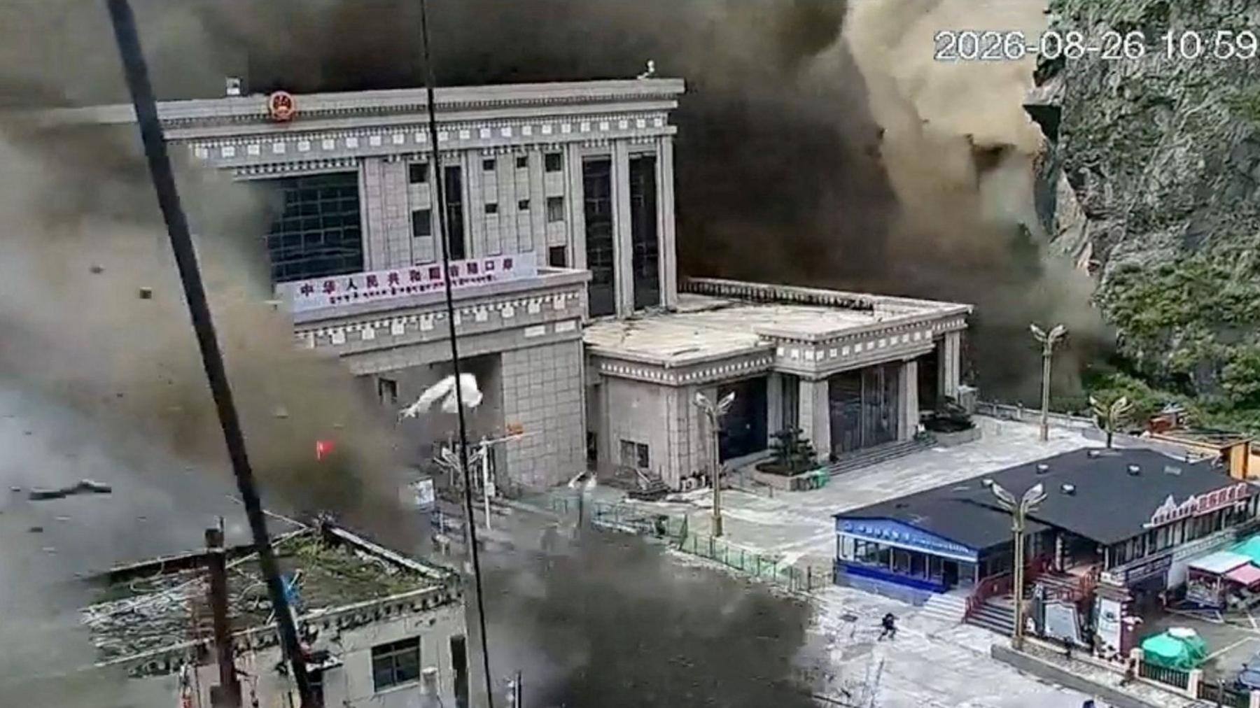
Reports indicate that the border crossing was almost completely washed out, captured in dramatic CCTV footage. The resulting loss of transport routes and infrastructure has intensified the challenge of locating missing residents and delivering aid.
Using the open satellite dataset released by Vantor, relief agencies are rapidly mapping affected areas. Their goal is to pinpoint where the missing are likely to be and to identify the most critical sites needing repair or evacuation, including the collapsed bridge and damaged hydro‑electric station that lie on the river’s lower reaches.

With over 550 confirmed deaths and hundreds still missing, the scale of the disaster is unclear. Satellites continue to provide the only reliable, up‑to‑date picture of the damage, granting responders a critical advantage in the battle to restore life and infrastructure to the valley.